
← All projects
Selected project / AeroScan LiDAR
From aerial capture to usable terrain data.
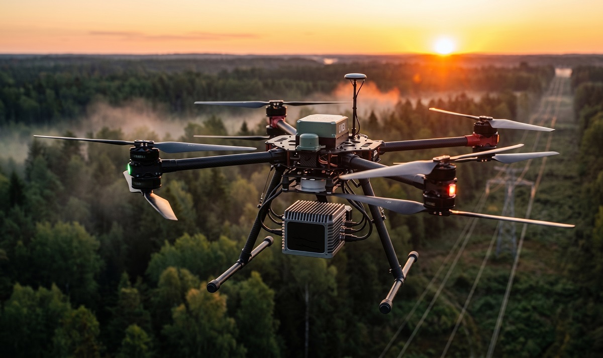
AeroScan brings drone operations, LiDAR capture and data processing together for surveying and terrain analysis.
01 / The challenge
AeroScan LiDAR
A survey needs more than an aircraft and a sensor. Mission planning, positioning, data capture and processing must work together to produce useful deliverables.
The engineering approach
The engineering focus connects flight-control integration and payload workflows with telemetry and point-cloud processing. Outputs support terrain modelling, volume measurement and infrastructure mapping.
02 / System architecture
From aerial capture to usable terrain data.
The engineering focus connects flight-control integration and payload workflows with telemetry and point-cloud processing. Outputs support terrain modelling, volume measurement and infrastructure mapping.
GNSSPX4 / MAVLinkLiDARPOINT CLOUD
03 / From input to useful output
What the system connects
Plan the survey
Flight-control integration
Capture spatial data
LiDAR payload workflows
Process the point cloud
Mission planning & telemetry
Review and deliver
Point clouds & terrain models
Contact
Working on a similar challenge?
Tell us about the workflow, the constraints and the result you need.